|
Otero County

Sierra Blanca
Photo: Rob Roberts
The highest elevation in Otero county is Sierra Blanca with 11,997 feet (3,656
m).
See this map here:
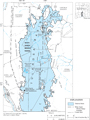
White Sands Map
Location
Here is a map of the
counties in New
Mexico:
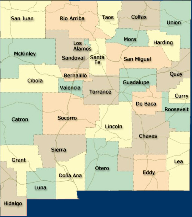
County Map New Mexico
The University of New Mexico
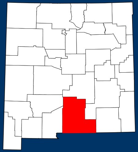
Map Location Otero County, New Mexico
Wiki
The oldest permanent settlement in the county is La Luz, where a
Franciscan mission was established in 1719. You will find La Luz between
Alamogordo and Tularosa.
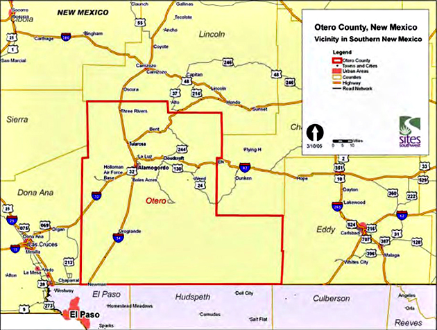
Otero County, New Mexico — Vicinity
in Southern New Mexico
Otero County.us
Otero County was established in 1899. County seat is
Alamogordo.
This is the link to
Alamogordo Chamber of
Commerce. And this is the link to the
City of Alamogordo.
And this link
here tells you how healthy it is to live in Otero
County. Please note that obesity gives us more headaches than substance abuse.
The main attractions in Otero County are:
Lincoln
National Forest (think Smokey the Bear)
The historic town of
Lincoln
(think Billy the Kid)
Cloudcroft
(think skiing and golfing)
Sunspot (think
National
Solar Observatory and
Apache Point
Observation)
Valley of Fire (think lava)
Inn of
the Mountain Gods on the Mescalero Reservation (think hunting,
fishing, and casino)
Ski Apache
Three Rivers Petroglyph National Recreation Site
(here is the
BLM page for Three Rivers)
and of course
White Sands.
Here is the official
Otero County website.
The
Otero County Economic
Development Council also provides you with good information.
To the best of our knowledge all
information is current. If you should discover any errors, however,
please let us know. Thanks!
|