White Sands National Monument   //   Location   //   How to Get Here   //   What to Do at the Sands   //   Maps

Geology   //   Military   //   NASA   //   Spaceport America   //   Hot Air Balloon Invitational   //   Events   //   Photo Gallery

Home   //   White Sands Info   //   New Mexico
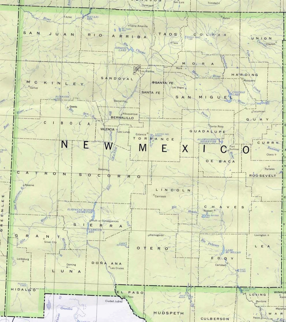


Description:
Map of New Mexico Counties

Credits:
The University of Texas at Austin
Perry-Castaņeda Library

New Mexico: County boundaries and names, county seats, rivers. Original scale 1:2,500,000 U.S. Geological Survey, 1972 limited update 1990


Return to Map Collection
 

Map of New Mexico Counties


White Sands National Monument New Mexico

VISIT WHITE SANDS
Where is White Sands located?   ::   How to get there?    ::   Where to stay?   ::   What to do at the Sands?  
What else to do in the area?   ::   Nightlife   ::   Filming a Movie?   ::   Weather at the Sands
  ::   How to Photograph White Sands?

ADDITIONAL INFO
General info   ::   Geological info   ::   Info on the dunes   ::   About Gypsum   ::   History of the Monument
Lake Lucero   ::   Military   ::   NASA    ::   Spaceport America    ::   Tularosa Basin   ::   Alamogordo
Otero County    ::   Doņa Ana County   ::   New Mexico    ::   Chihuahuan Desert    ::   Missile Range History
Hunting and Fishing in New Mexico    ::   UNESCO World Heritage Site   ::   Hot Air Balloon Festival

Visitor's Guide   ::   About Us   ::   Support   ::   Downloads   ::   Maps   ::   Events   ::   News
Photo Gallery    ::   Submit Your Photo   ::   Featured Content
 

© 2017 Emerson Kent. All rights reserved.
Contact Us